Maps
The following interactive maps provide useful inormation such as Met towers, organic farming areas, and more.
MET Towers
Explore the below GIS map of meteorological towers (MET towers) across North Dakota, as documented by the requirements of ND Century Code 2-05-21. This interactive map provides precise coordinates for each tower, helping to enhance the safety of low-altitude aircraft operations.
Admin Login - This link is for wind tower companies with administrative access to update the database, including adding new MET tower locations or removing towers that are no longer in service. Contact the ND Aeronautics Commission if you require assistance and/or login credentials.
Sensitive Area Map - ND Department of Agriculture Resources
Aircraft operators can utilize a site-area map on the North Dakota Department of Agriculture’s website to view the locations of active apiaries, vineyards, organic crops, and towers across the state. Planning flights around these areas helps minimize disturbances, protects valuable resources, and supports safe, responsible operations. More information can be found from the ND Department of Agriculture's website.
FAA Weather Cameras
The North Dakota Aeronautics Commission (NDAC) is proud to work with airports through teh state to provide real-time access to FAA weather cameras. These camera feeds allows pilots, airport staff, and the public to view current weather conditions at participating airports, helping improve situational awareness and flight planning. Explore the map to see live camera feeds and stay informed about local weather conditions wherever you fly.
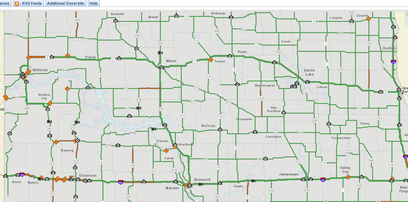
NDDOT highway cameras
Viewing the highway cameras provided by the NDDOT can help provide infomration about the current conditions in an area. View these cameras by clicking the image below and selecting "weather cameras" from the options on the left.